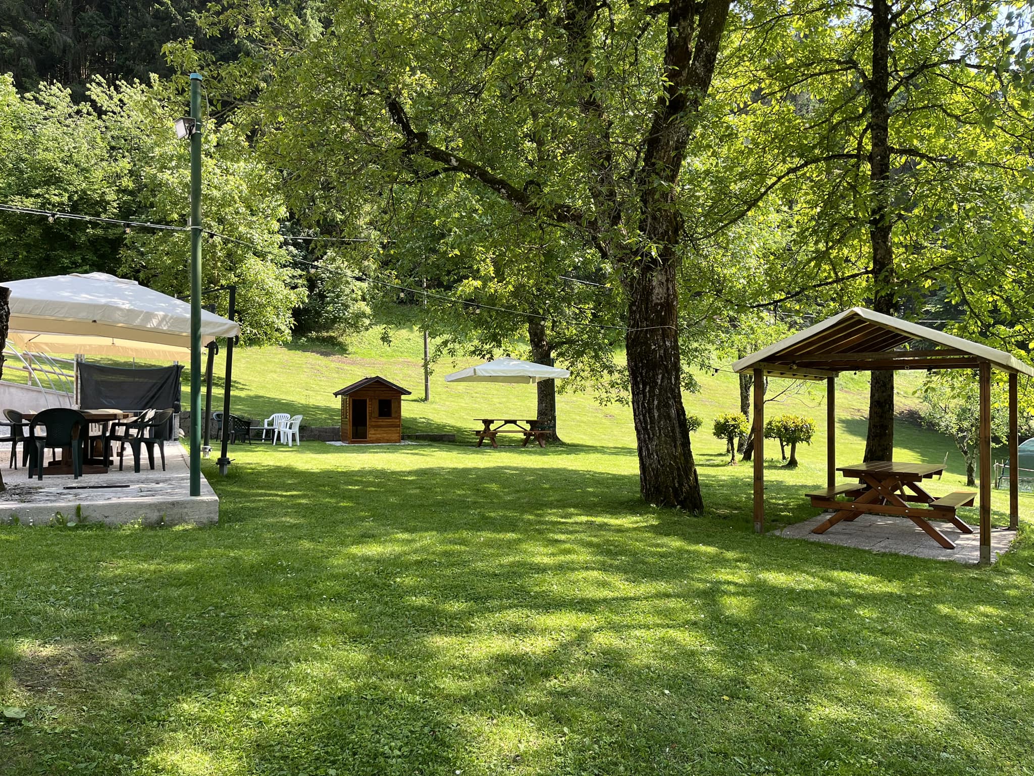
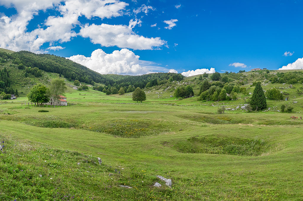
It is a cosy and pleasant karst plateau (polje), almost entirely surrounded by hills of low height and affected by the alternation between sinkholes and rocky outcrops. It is located at an altitude of approximately 1200 m. The toponym comes from the campus ad ultimum, in Roman times it was the last outpost of the municipal countryside of Opitergino. It is also called “Canp de l’Armàda”, since to reach it you have to go up, from the chapel of Sant’Antonio, the last stretch of the Val Armàda,” Valle dell’Olmeto”.
Historical background
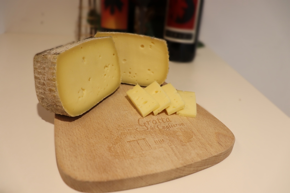
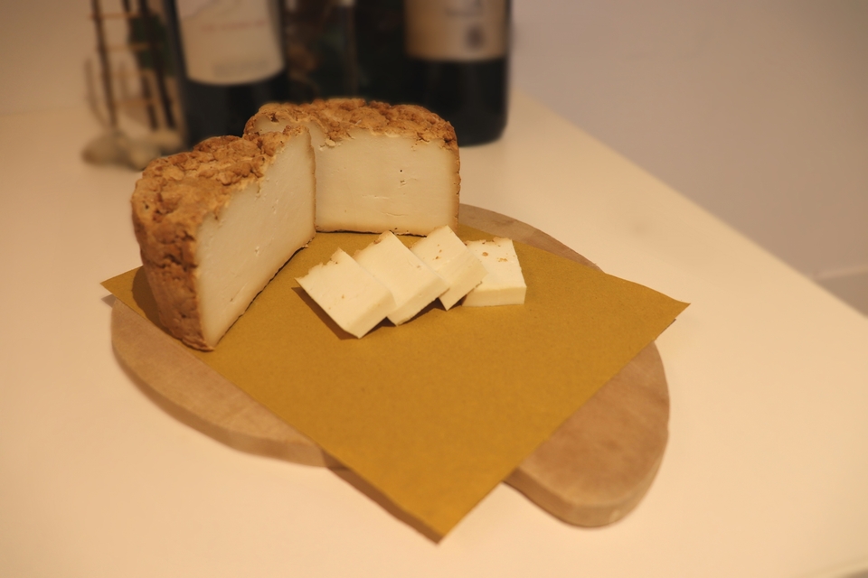
The Cadólten has been for centuries a place suited to sheep-farming, not only for bovine animals: even today, thanks to the dry-stone walls that surround them, you can see at a glance the individual “Malga” (alpine hut), each of them with a “Casera” (dairy hut) and “Casone” and with its own “lama”, that is a reserve of rainwater used to water the livestock.
Deep traces of the pastoral vocabulary still remain in the Fregonese dialect, for example: “bùrcio” churn, “caliéra” cauldron of cheese, “schirèl” frangi-curd, “parsór” colander, “smalzharòla” tablet for skim, “màndra” sheepfold, “feda” sheep, “còcia” goat etc. In the collective imagination survives also the figure of the “mazharól”, the homunculus in a red suit who in the morning makes the herdsmen find the already milked cows, as long as he is not caught on the fact.
The toponym Mezzomiglio reminds how intense and contrasted was the relationship between grazing rights and the strict bonds of the Forest State Property. As evidence of the deep religiosity that distinguished the herdsmen, remains the capital dedicated to San Floriano, the saint who protects against fires, especially the “casere” and the “casoni” whose roofs of wood and rush were easy prey to the flames. In some “Casoni” are still preserved images of saint, as a testimony of the persistence of the religious cult.
Of great historical importance is the ancient mule track, called “del Santo”, which from Sonego and Osigo leads to Cadólten. Although a new pastoral road has been opened, you can still recognize widespread stretches of route.
Until the 1970s of the last century, it was also used for transhumance; during the Venetian era, to drag downstream the “stèle” to build oars of the Bosco del Cansiglio. Of this ancient mule track (and of Cadólten) we still have the precious and detailed description, even if tinged with bucolic suggestions, by Antonio Caccianiga, podestà and mayor of Treviso, who wrote it in 1867. One of the recent paths is the didactic path of Lieutenant William B. Berry, named after the American officer who worked valiantly in the Cansigliese area during the Resistance. From the Cadólten forestry house the trail climbs to Pizzòc, via Pecolìn (from “pecŭlus” small footprint) and Monte Crós (“croce”, border mark).
Until the 1970s of the last century, it was also used for transhumance; during the Venetian era, to drag downstream the “stèle” to build oars of the Bosco del Cansiglio. Of this ancient mule track (and of Cadólten) we still have the precious and detailed description, even if tinged with bucolic suggestions, by Antonio Caccianiga, podestà and mayor of Treviso, who wrote it in 1867. One of the recent paths is the didactic path of Lieutenant William B. Berry, named after the American officer who worked valiantly in the Cansigliese area during the Resistance. From the Cadólten forestry house the trail climbs to Pizzòc, via Pecolìn (from “pecŭlus” small footprint) and Monte Crós (“croce”, border mark).
Nature
The Cadólten, under the floristic aspect, provides a great variety of Orchids, among them the extremely rare “Microstile” and the “Orchide ad un bulbo”, the common and red “Nigritella”, the pasture orchid, the pale orchid, the burnt orchid.
We can also mention the yellow “Scrofularia”, “Lingua di cane vellutina”, the “Cipollaccio stellato” and the “Sassifraga dei muri”. Then we can find the abundant flora of the pastures, rupestrian and also aquatic, such as “Peonia selvatica”, “Genziana primaticcia”, “Genziana di Koch”, “Stella alpina”, “Valeriana delle rupi” and “Spirea cuneata”. Despite the area is mainly dry (there aren’t water courses), you can find the “Erba-unta bianca”, the “Salice retuso” and the common “Erba milza”. Some amphibians, like the “Salamandra alpina” and the “Tritone alpestre” are widespread in the “lame”. Among the birds you can spot the “Astore”, the “Sparviere”, the “Falco pellegrino”, the “Fagiano di monte”, the “Ghiandaia”, the “Corvo”, the “Cincia dal ciuffo”; among mammels you can see the fox, the weasel, the marten and the badger.
We can also mention the yellow “Scrofularia”, “Lingua di cane vellutina”, the “Cipollaccio stellato” and the “Sassifraga dei muri”. Then we can find the abundant flora of the pastures, rupestrian and also aquatic, such as “Peonia selvatica”, “Genziana primaticcia”, “Genziana di Koch”, “Stella alpina”, “Valeriana delle rupi” and “Spirea cuneata”. Despite the area is mainly dry (there aren’t water courses), you can find the “Erba-unta bianca”, the “Salice retuso” and the common “Erba milza”. Some amphibians, like the “Salamandra alpina” and the “Tritone alpestre” are widespread in the “lame”. Among the birds you can spot the “Astore”, the “Sparviere”, the “Falco pellegrino”, the “Fagiano di monte”, the “Ghiandaia”, the “Corvo”, the “Cincia dal ciuffo”; among mammels you can see the fox, the weasel, the marten and the badger.