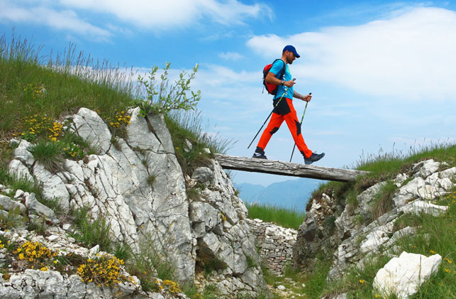
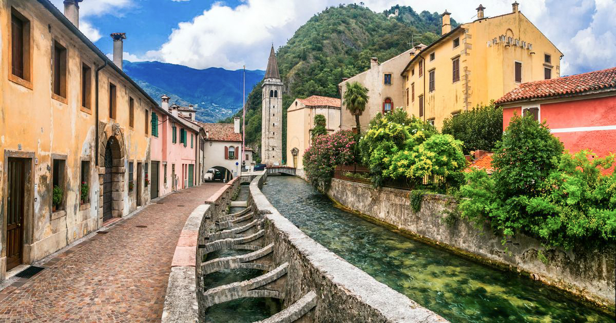
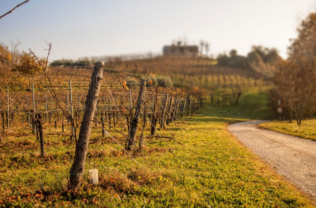
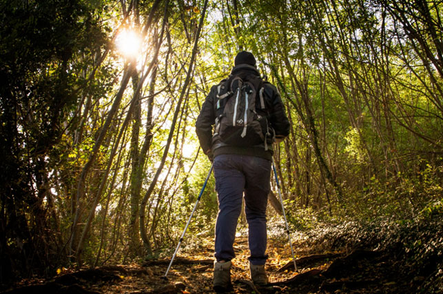
Home -> What to do -> Outdoor experiences -> Walking


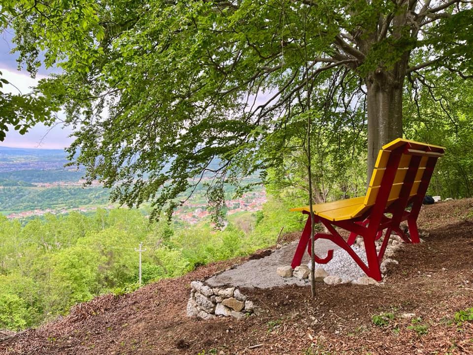
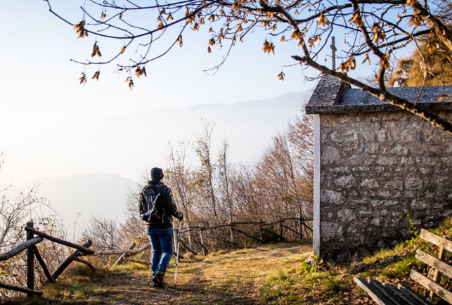
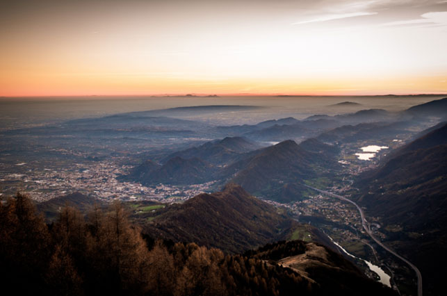
The large bench of Borgo Luca is located at the foot of a centuries-old beech tree from which you can admire the hills of Fregona and Vittorio Veneto, as well as having a complete view of the Venetian plain. Inserted within the UNESCO route "The sources of Osigo", it is located a short distance from the ancient Remera road, the road used by the Serenissima for the transport of beech trees from the Cansiglio forest to the Arsenal of Venice.
Start from Osigo, parking in the square; continue in the direction of Montaner, as soon as you pass the square go left onto via Carnielutti and, 400 m. then, follow the directions to the bench.
The path, partly sunny and partly shaded, takes us to the site in about 45 minutes, crossing the "Camp de Supiane" (underground meadow) in the final part. Next to the bench, there is a majestic beech tree: "el fagheron". It is also possible to reach the bench from Borgo Luca: the path is shorter but very steep. Being an isolated place, it is recommended to pay attention to the presence of ticks.


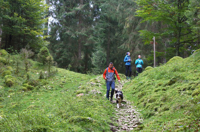
#11 Cansiglio Loop (Short Version)

created by: “La via delle PREALPI“
| Location | Cansiglio |
|---|---|
| Difficulty/td> | Easy |
| Lenght | 8,1 km |
| Duration | 2:30 h |
| Difference in altitude | 214 mt |
#12 Cansiglio Loop (Long Version)

created by: “La via delle PREALPI“
| Location | Cansiglio |
|---|---|
| Difficulty | Medium |
| Lenght | 14,1 km |
| Duration | 4:30 h |
| Difference in altitude | 349 mt |
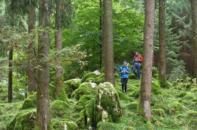
#13 Excursion in the Cansiglio forest

created by: “La via delle PREALPI“
| Location | Cansiglio |
|---|---|
| Difficulty | Medium |
| Lenght | 19,3 km |
| Duration | 6:15 h |
| Difference in altitude | 352 mt |


#18 E7 European Path from Lake Garda to the Cansiglio Forest

created by: “La via delle PREALPI“
| Location | Lago di Garda – Foresta del Cansiglio |
|---|---|
| Difficulty | Medium |
| Lenght | 393,6 km |
| Duration | 130:00 h |
| Difference in altitude | 20.633 mt |